Uncategorized
OPEN CALL FOR WINNIPEG TRAILS ASSOCIATION BOARD MEMBERS
Do you have a little free time and a desire to help make Winnipeg a better place? We are currently seeking passionate individuals to join

Do you have a little free time and a desire to help make Winnipeg a better place? We are currently seeking passionate individuals to join
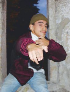
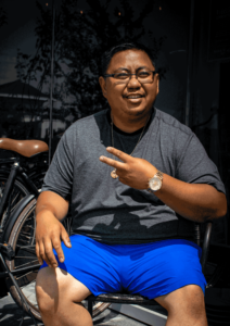
Kenneth is a first generation Canadian, born of Nicaraguan immigrants. He is a former hype man, break dancer, master of ceremonies and youth worker for

Pannier Manufacturing coordinator Amal Mohamed is the Manufacturing Coordinator with Winnipeg Trails Association, helping bike riders get the equipment needed to make shopping by bicycle
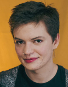
Diversity and Inclusion Simon was born and raised in Winnipeg, on Treaty One territory. They started working at Trails in winter 2022. A self-taught seamster,
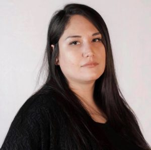
Project Manager – Healing Trails Janell Henry is an Ojibwe from the Roseau River First Nation (MB.) She completed high-school at ICSP in St.Pierre Jolys
Urban Landscape Designer Hired in April 2021 as Winnipeg Trail’s Urban Landscape Designer, Vincent Rara is currently obtaining his Masters in Landscape Architecture at the
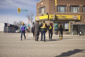
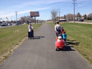
Below, find a press release from March 12th regarding the community’s response to the lack of planned bike lanes for the new construction on Salter Street.

Of course you do. You all do. We know. Today we made the newspaper for a pretty basic idea: Making sure people can reach businesses.
Introduction Healing Trails seeks to heal the people by healing the landscape. Its pandemic response consists largely of developing methodologies to improve conditions on the
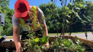
Janell Henry, project manager at Winnipeg Trails Asssociation, on Rover ave between Disraeli st. and Barber for the installation of community-led traffic calming measures along